

Top course
Pisa, Italy
Introduction to Machine Learning and Deep Learning in Geosciences
When:
22 June - 26 June 2026
Credits:
3 EC
Read more
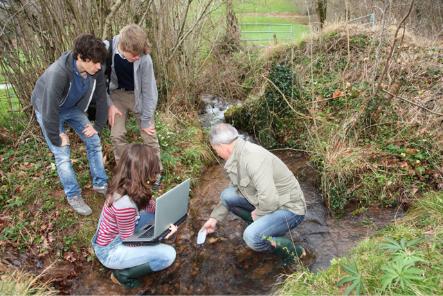
The aim of the course is to familiarize students with the functions, structure and basic principles of geographic information systems (GIS) including terrain mapping. Emphasis will be placed on the use of open-source GIS in environmental risk research and practical application of systems.
Therefore, required basic knowledge of environmental disciplines and elementary computer skills are required. It is required to have own laptop (regardless of the operational system) and recommended to have a suitable device (smartphone, tablet) with the internet connection for field mapping.
The lectures, practices, related teamwork, and discussions will focus on:
Basics of Cartography and Geoinformatics
Cartographic Visualization
Principles of GIS, Use of Geographical and Ecological Data in GIS
Fundamental Analysis in GIS and 3D Visualization, Creation of Thematic and Topographic Maps
Fundamentals of Remote Sensing
Introduction to Citizen Science and Participatory Mapping
Field Mapping Project
Integral part of the course is a field trip to landscape protected area where we harvest our obtained knowledge during complex fieldwork combined with an excursion.
Lecturers: RNDr. Jakub Trojan, Ph.D., Mgr. Matyáš Adam, Ph.D.
Fee
550 EUR, Early Bird: EUR 550; Deadline: 30 April 2021
Fee
600 EUR, Regular: EUR 600; Deadline: 31 May 2021 Tuition and fees: The course itself, accommodation, breakfasts, and events are included in the price.
When:
09 August - 20 August 2021
Language:
English
Credits:
5 EC
Pisa, Italy
When:
22 June - 26 June 2026
Credits:
3 EC
Read more

Zlin, Czechia
When:
03 August - 14 August 2026
Credits:
6 EC
Read more
Marseille, France
When:
09 June - 11 June 2026
Credits:
0 EC
Read more